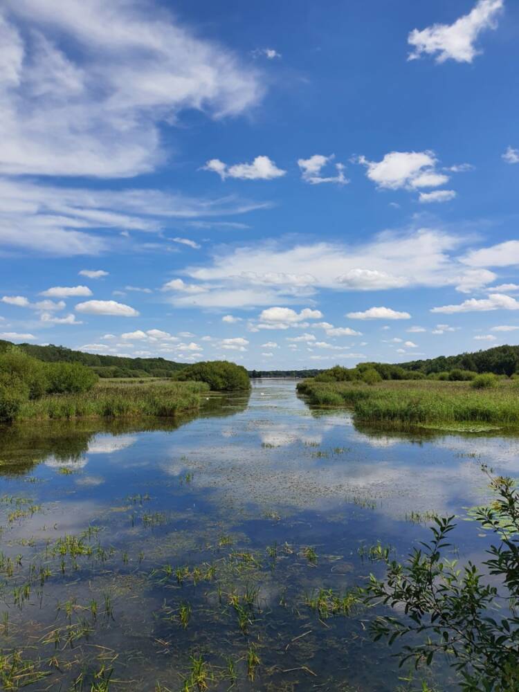
From the Perray-en-Yvelines train station, take a walk around the Etang de la Tour.
The route runs along the Etang de la Tour, fed by the Drouette, and the managed biological reserve of the Etang de la Tour, before returning to the starting point. L'Étang is located in the forest of Rambouillet and straddles the towns of Vieille-Eglise-en-Yvelines and Rambouillet.
When you leave the station, take the underground to arrive behind it. Here you are in Rue du Petit Pas. Take this street on the right, for 100 meters until the intersection where you turn left; Planit Street.
Cross rue Planit then, at the end, turn left on the D61 towards Vielle-Eglise. Pay attention to traffic, stay on the roadside lanes provided for pedestrians and cyclists.
1 After 800 meters leave the D61 road and turn right into the small path which rushes into the woods. Here you are in the forest of Rambouillet, a wild space of 22 hectares in which there are a large number of animal and plant species.
Keep going straight ahead. You come to an Aqueduct. Walk along it on its left bank.
2 You arrive at a small crossroads marked by a bridge. On the left is the small farm of La Quoiqueterie where you can go and buy local products. If you do so, then retrace your steps and cross the bridge to resume your journey on the other side.
3 Continue along the Aqueduct on the right bank for 1,5 km. It is the aqueduct of Vielle-Eglise, an underground network which is used to transfer water between the surrounding ponds.
You arrive at a crossroads, go straight on Chemin des Forges.
4 At 500 meters, turn right. You have arrived at the Etang de la Tour. This body of water is an artificial work designed, like many others, to supply Versailles with water and more particularly the fountains of the castle of Louis XIV.
5 Walk along the pond on the laid out path. This peaceful little corner is ideal for taking a break and contemplating the pond from one of the small beaches or even having a picnic on the tables available to you on your left. Continue your way until you reach the end of the pond. Turn right on the marked path and continue straight.
6 Arrived at the end, continue on the marked forest path which you take for a hundred meters, then you take the marked diagonal. At 400m turn right on the forest path.
At about 900 meters, at the “T” junction, turn right onto Rue de la Grange Colombe which will take you to the junction you crossed earlier. At the crossroads, take the small path on your left that crosses the forest.
7 You arrive at the intersection just before the aqueduct. At this point, you have two choices: take the path you took earlier, i.e. go along the aqueduct, or else take to your right then at the end of the dead end, take left and cross part of Vielle-Eglise.
Whichever path you choose, you will arrive at the crossroads where the Farm of La Quoiqueterie is located. Then take the path along the Aqueduct and then the D61 to return to the station.
Text size
By default
Leading
By default
Typo for dyslexia
By default