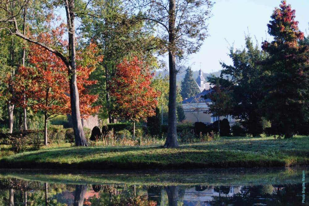
Discover Raizeux, the “butterfly village”. This pictorial nickname, due to the shape of Raizeux, illustrates the extended and divided character of the territory which is composed, like two outstretched wings, of agricultural plateaus and forests to the northeast, and of a wide agricultural valley bordered by hills at the west.
Hike proposed by GeoTrekDeparture : Next to the town hall, route de ponts near the Robert relaxation area. Doisneau
Arrival: Next to the town hall, route de ponts near the Robert Doisneau relaxation area.
1 Park next to the town hall, route de ponts near the Robert Doisneau relaxation area, an illustrious inhabitant of the village. At the crossroads in front of the town hall, go up the Vallières road. After 75 m, take the church path on the left. At the Notre-Dame-de-la-Bonne-Nouvelle church, a stone building from the XNUMXth century, turn left then right onto the Route du Tilleul, which owes its name to a remarkable specimen.
2 Pass the hamlet of Roches. After the Domaine de la Baste, turn left, Chemin de la Goulbaudière (gîtes). Birds abound in this wetland. Cross the Guesle. The Chemin du Gué-Falot takes you to Hermeray.
Observe the thatched roofs at the intersection. In the heart of the charming village of Hermeray, before continuing your walk to the left, take a few steps to the right as far as the church square via the street lined with picturesque rural houses.
3 At the exit of the village, take the straight path, then at the intersection, turn right.
You dive into a beautiful and vast plain surrounded by hills, woods and groves. In the distance, four lime trees guide you. They house a red cross. Once at the top of the hill, go down to the left towards the hamlet of Cady, which, from the Middle Ages until the end of the XNUMXth century, lived mainly from the cultivation of vines.
4 Turn left into the street and immediately right towards the gardens of La Motte.
5 Pass the washhouse and the sandstone that forms the bridge over the Guesle and go up towards Raizeux. At the first lane, continue along the path opposite. Then take the alley to the left. At 175 m, at the round stone, take the Chemin des Sapins on the right, to the stop sign. Go down the Vallières road on the left to reach your starting point.
Text size
By default
Leading
By default
Typo for dyslexia
By default